 The Wound
 Our History
 Why Me?
 Our Cultures
 My Response

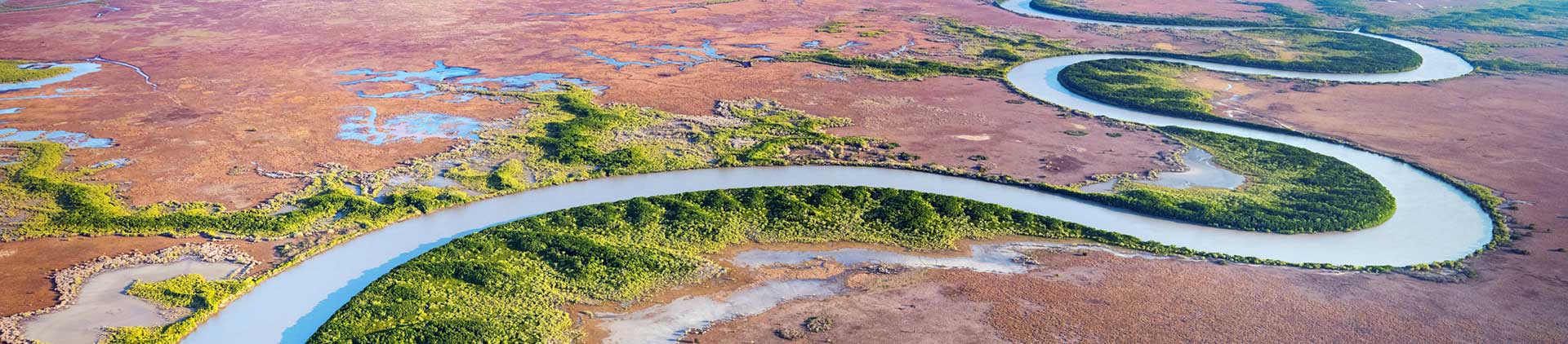
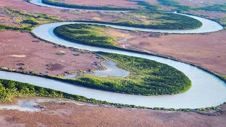
How can maps be used to help us understand the history, geography and stories of where we live?
Warning — First Nations teachers and students are advised that this curriculum resource may contain images, voices or names of deceased people.
Unit details
Y3 HASS, Maths, Digital Technologies & Visual ArtsAboriginal and Torres Strait Islander Histories and Cultures cross-curriculum priority.
Unit overview
In this unit, students will:
- learn about the purpose of maps and how and why they’re used
- develop ideas about the different areas, regions, features and landforms maps can represent
- think about the ways many First Nations Peoples use map-like representations
- make their own personal maps.
Register for access
Its free and will only take a minute! Register hereAlready registered? Login
